Iceland Day 2 September 2015
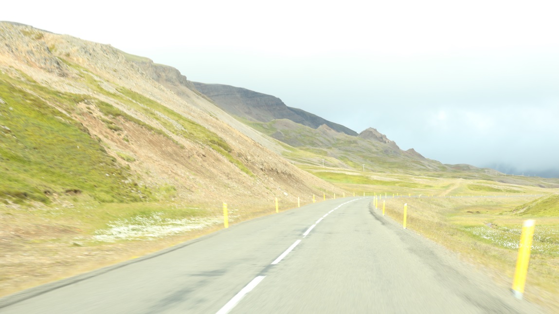
Highest area of Route 60 at 225 meters.
Or more below!
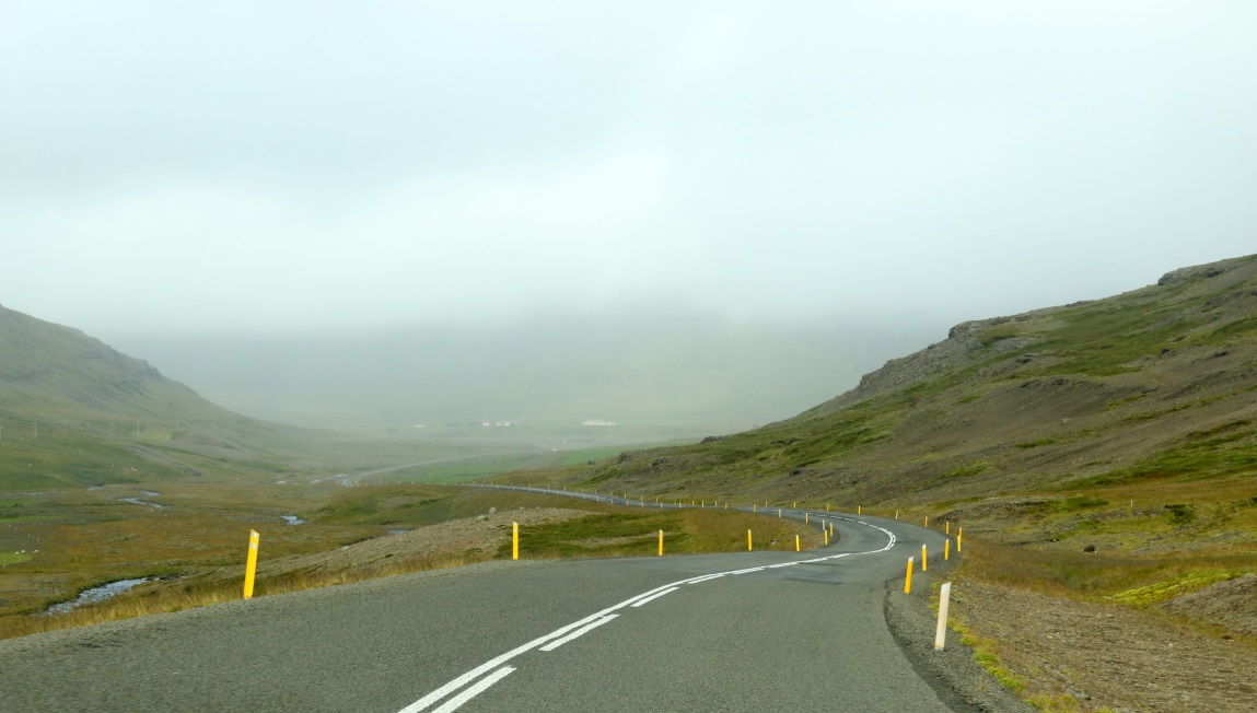
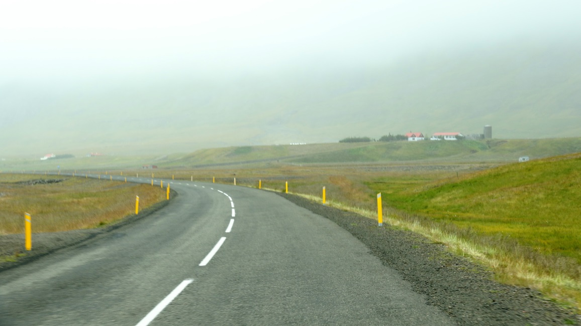
The altitude drops quickly as we continue North.
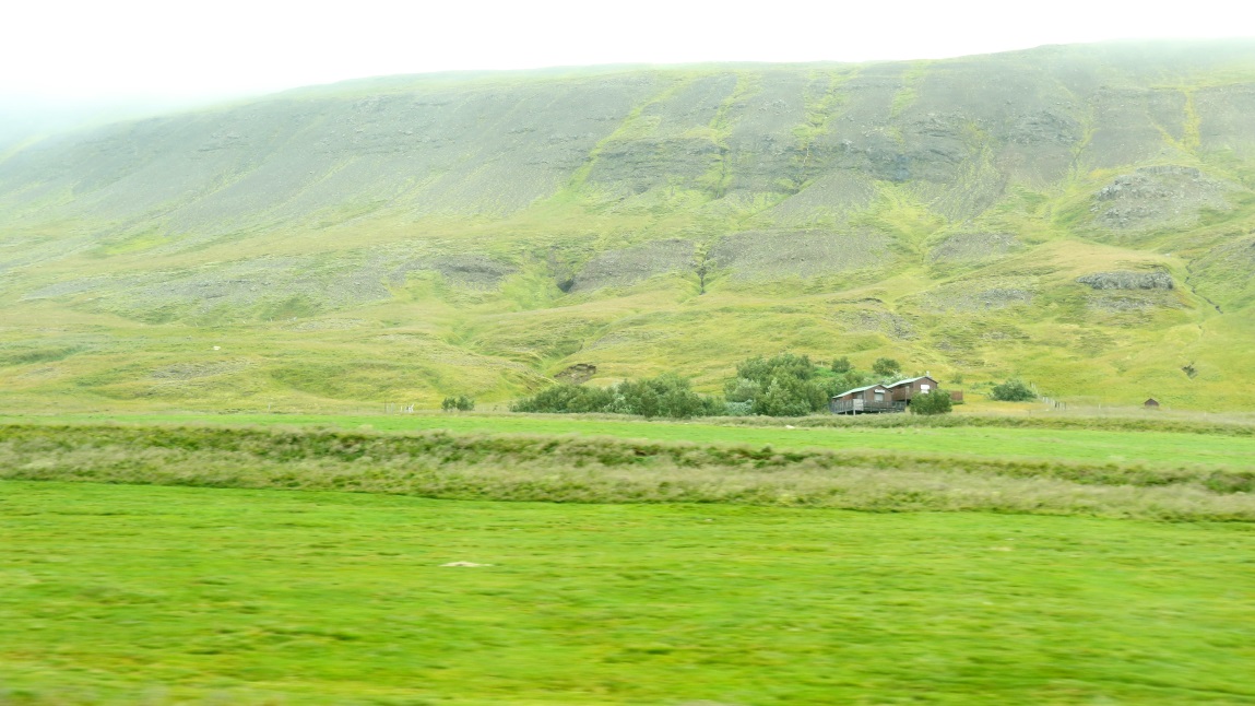
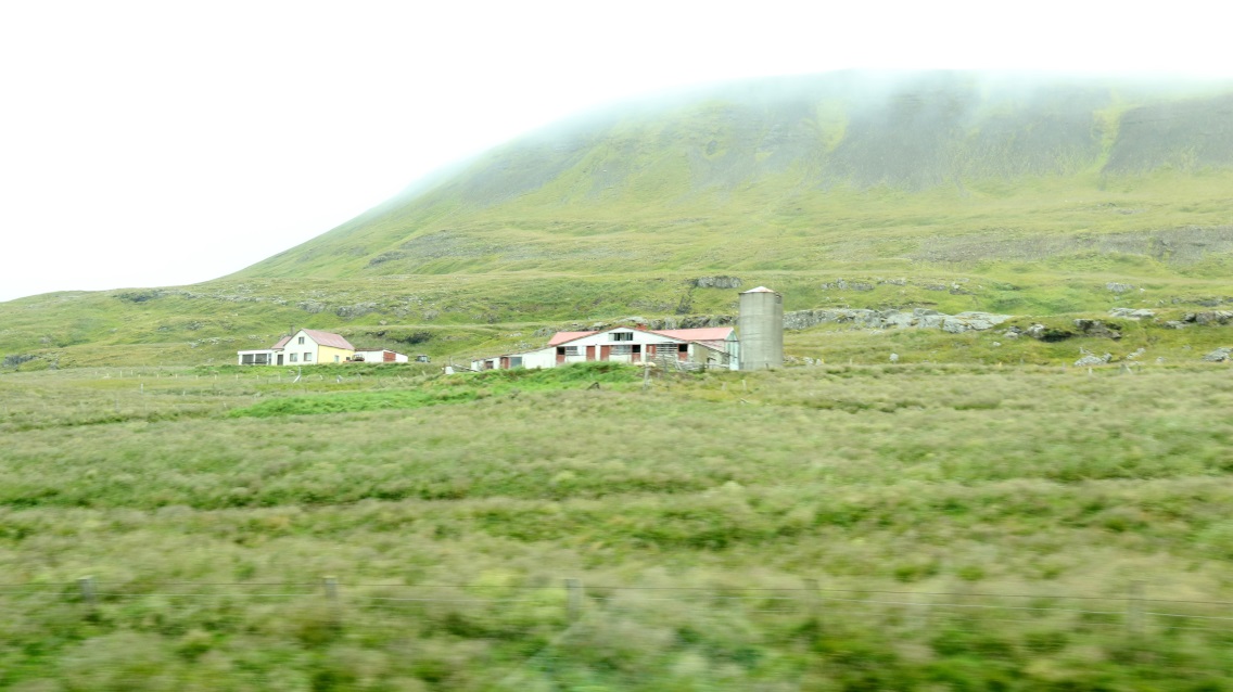
Signs of habitation as we continue into a valley.
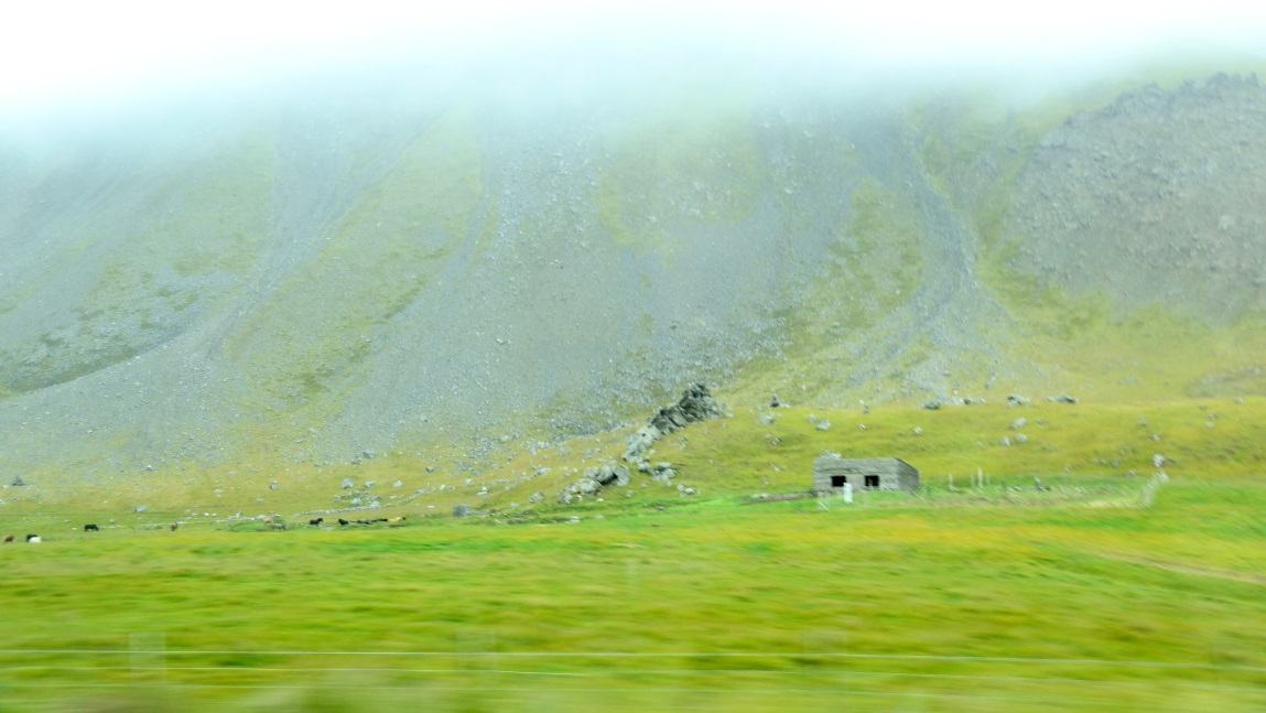
Different farming up here at the Bessatunga farm, not hay as in the flatter areas.
The cloud deck is low as we start approaching the water again.
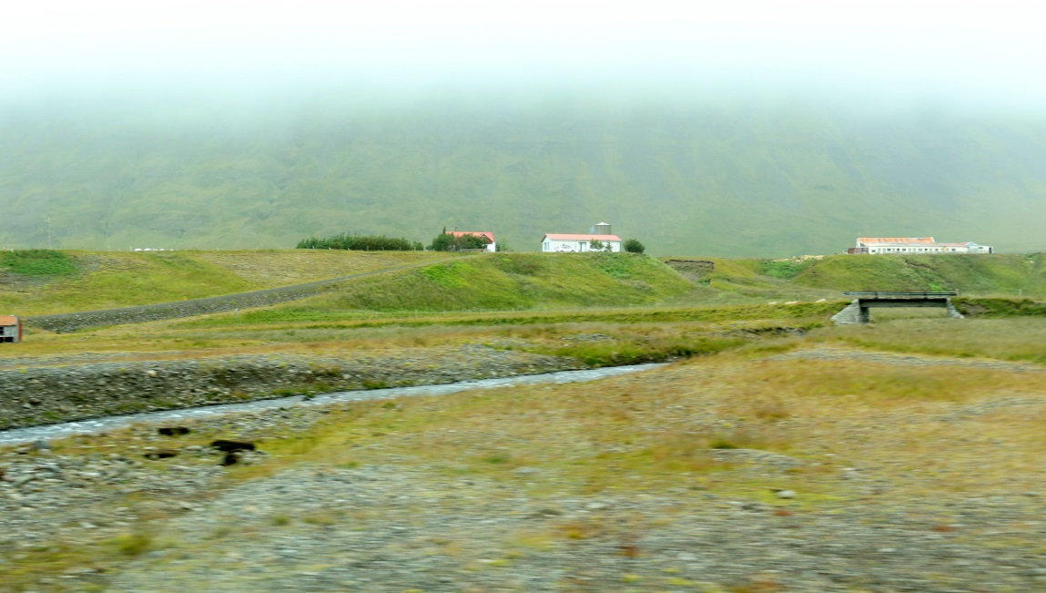
Svínadalsá stream comes out of the valley to the East.
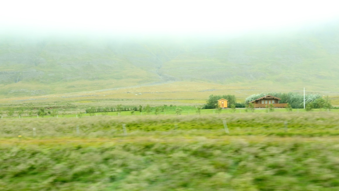
Note the small planted trees around the property.
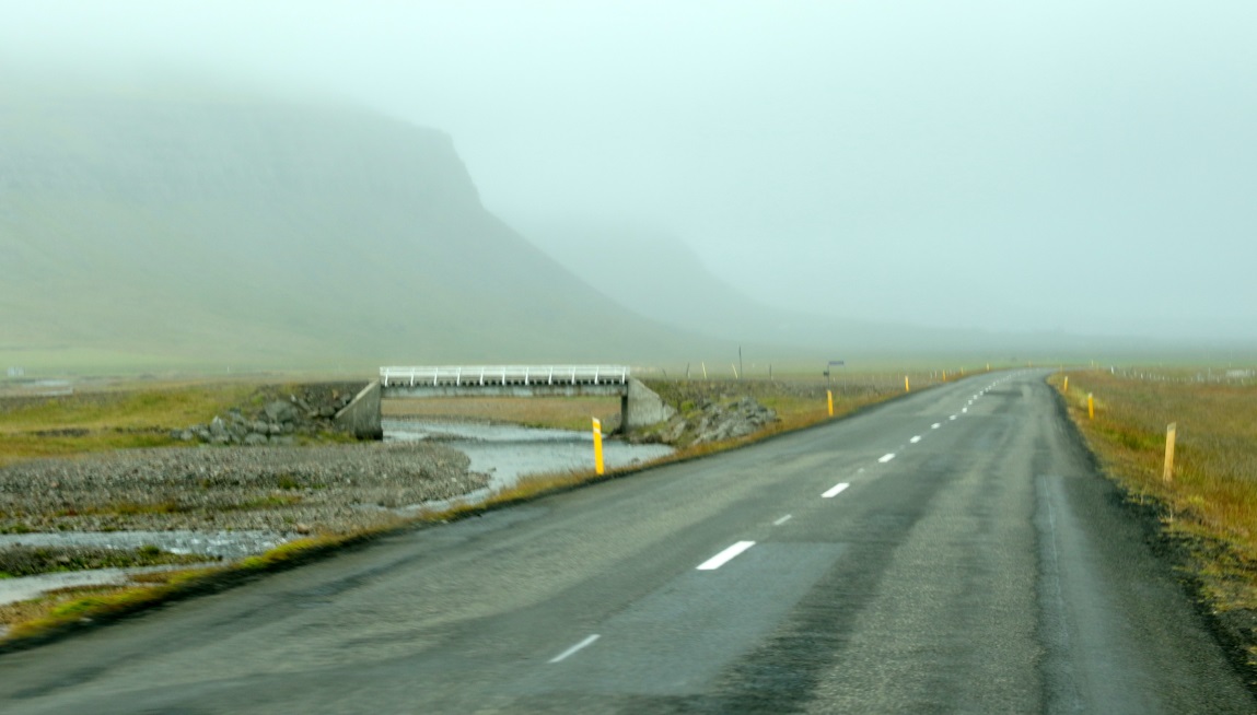
The road follows Svínadalsá stream most of the way to the coast.
Horses mowing the lawn on the left.
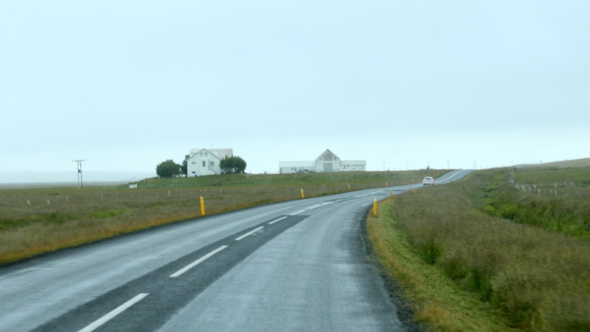
Two more miles until Route 60 reaches the coast again.