Iceland Day 3 September 2015
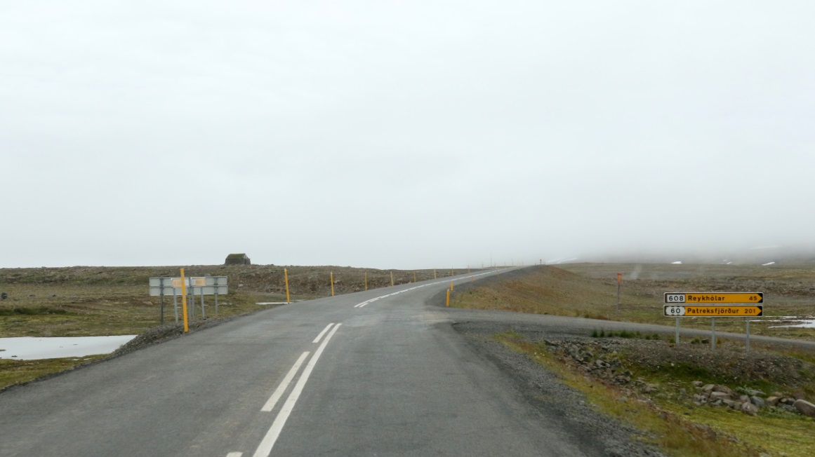
The intersection with Route 608 which heads South to meet up with Route 60.
Or more below!
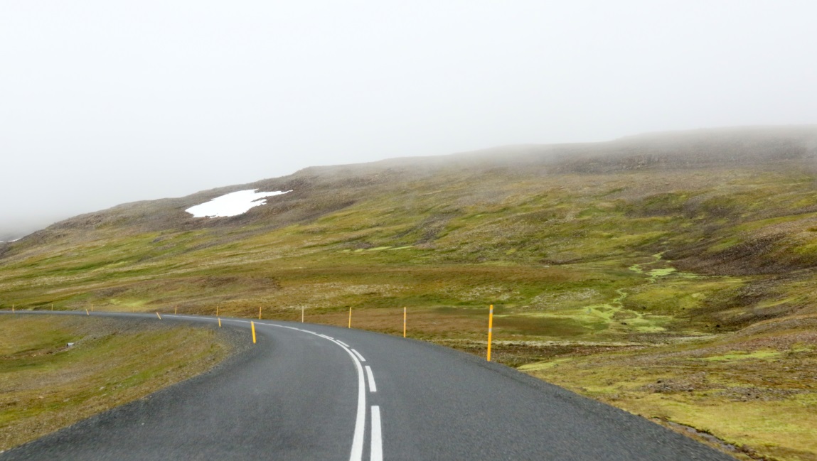
A mile past the intersection we are still near the clouds at 440 meters altitude.
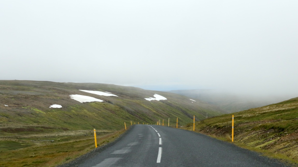
Beginning the slow descent.
Getting down below the clouds.
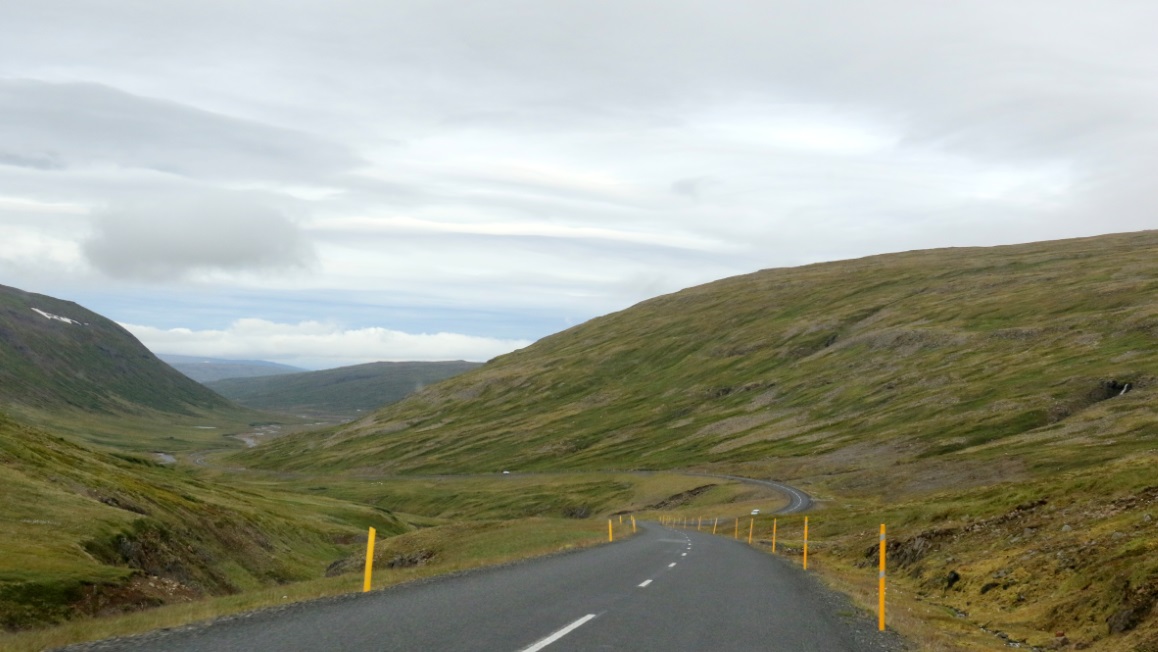
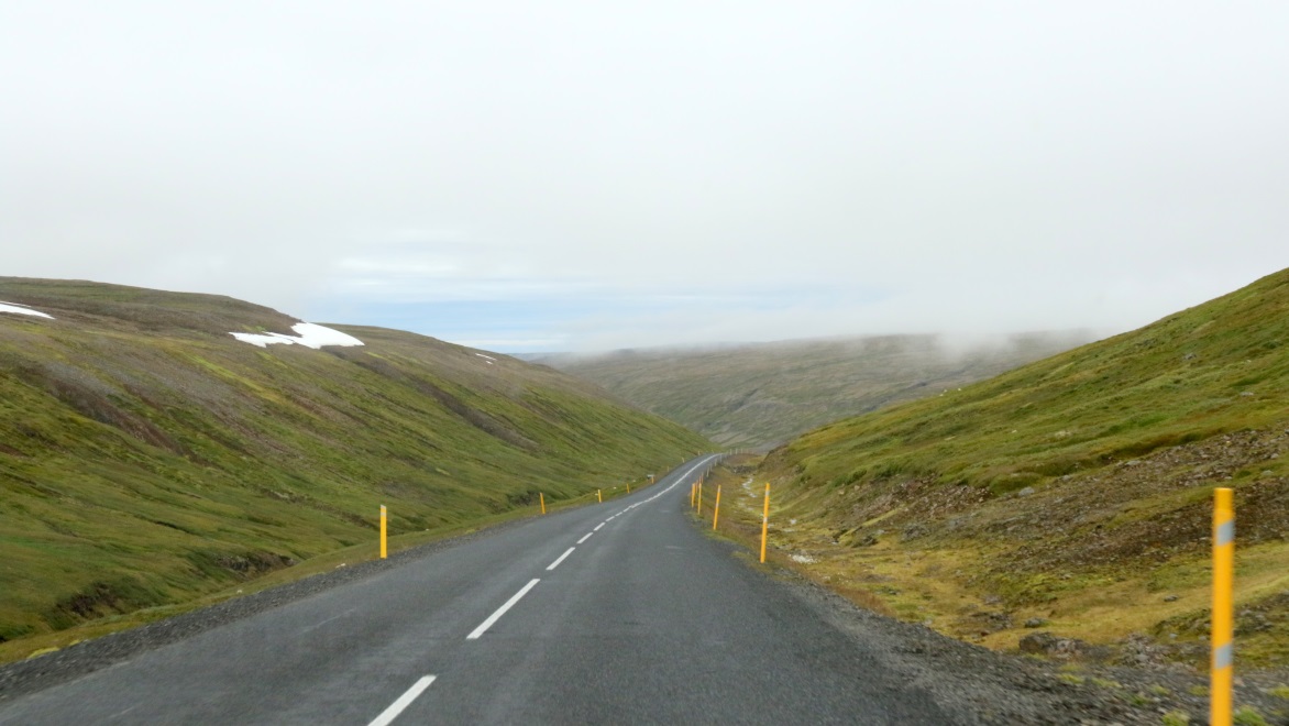
Zig zagging through the hills at 225 meters.
Entering a river valley.
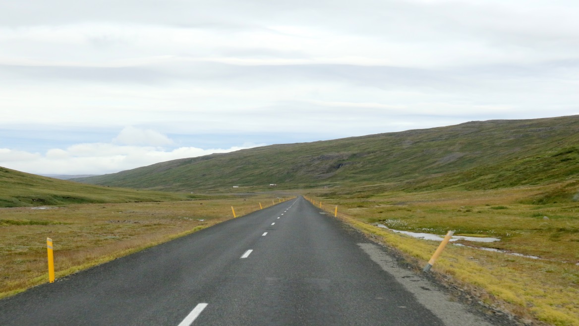
We still have seven miles to go before we reach the water again.
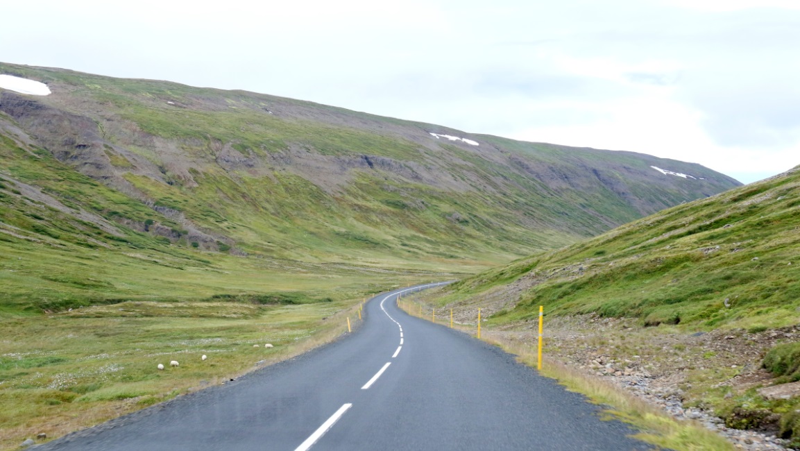
Slow, gradual decline, now at 100 meters.
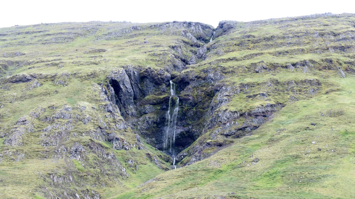
Small waterfall coming off the hillside.
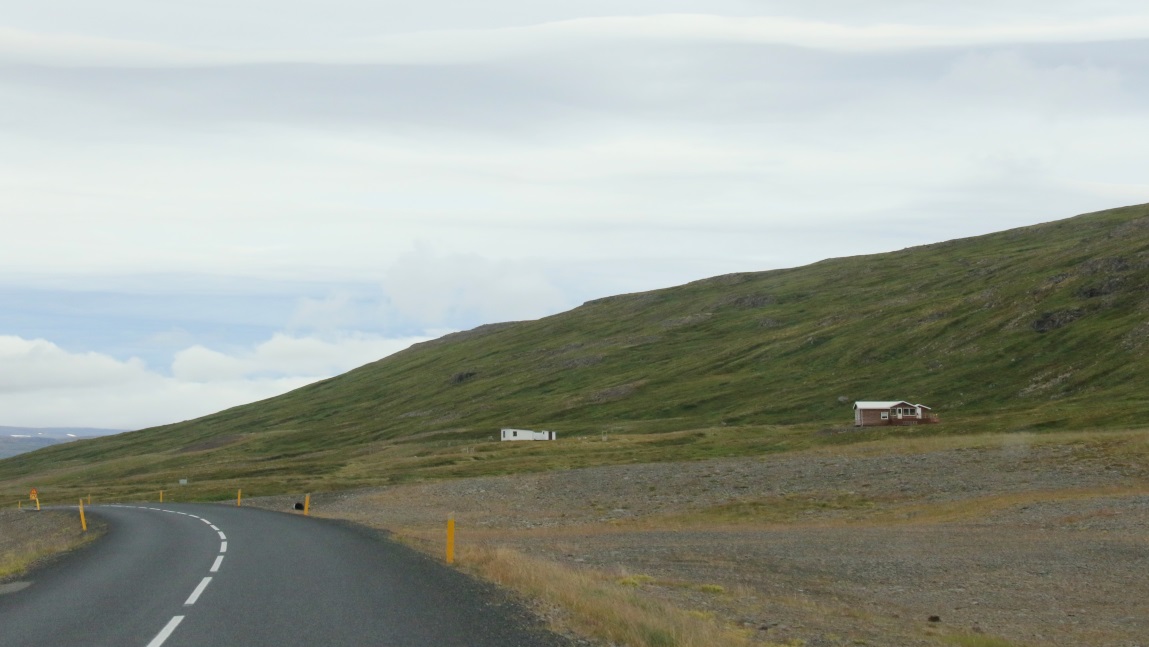
There are not many houses along this section of Route 61.
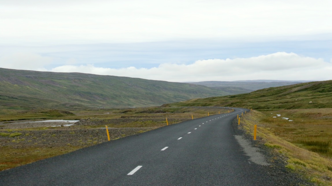
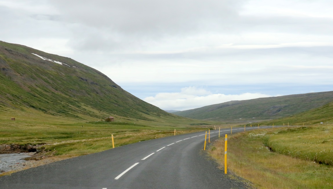
Five miles to reach the water and we are still following the stream.